A little while ago, I was contacted by someone who was looking for a shape file for the Newcastle upon Tyne area, as they wanted to map some data as part of a research project.
It occurred to me that other people might be looking for such a file since, back when I made my maps of transport usage in Newcastle (see previous blog), I’d had to source an ONS shape file of all the LSOAs in England and then manually edit it down to only those contained within the Newcastle area. Should you wish to avoid doing all that work yourself, here is the file!
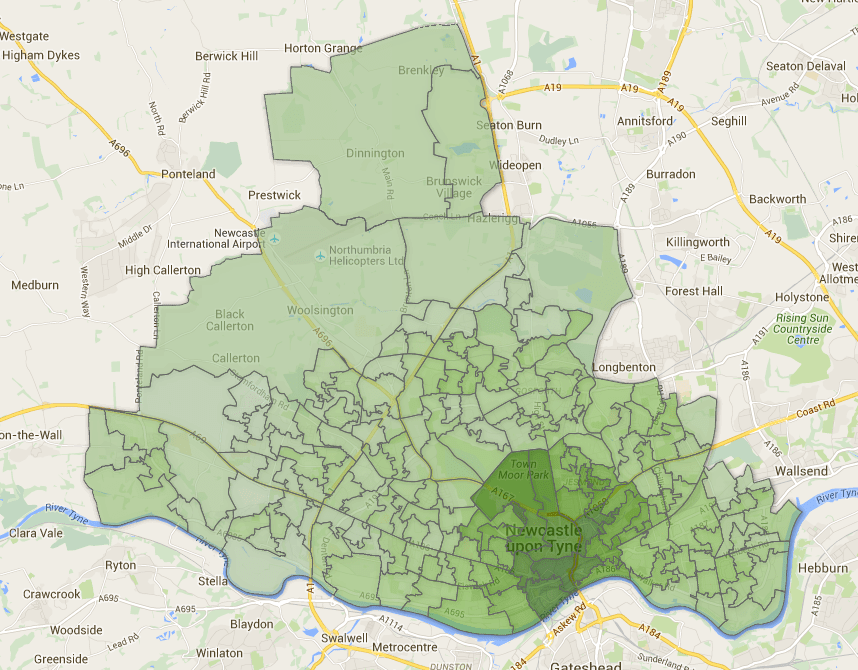
It is a KML file showing the Lower Level Super Output Areas (LSOAs) in Newcastle Upon Tyne (2011 boundaries). Click here to download.